Manage grassland more sustainably with UAS sensors and machine learning
Grassland areas are ecologically valuable. They promote the preservation of biodiversity, store carbon and are important for livestock farming. Nevertheless, information on yields and forage quality for their sustainable management is scarcely available. In order to estimate the above-ground biomass and the nitrogen content of the vegetation, researchers at the Karlsruhe Institute of Technology (KIT) have now investigated the potential of inexpensive drone sensors. The study published in Biogeosciences shows that high-resolution maps of grassland properties can be generated using these sensors in combination with machine learning (ML).
“With the help of the sensors, we can, for example, identify differences in yield within a field. Together with a decision support system developed in the SUSALPS project, we can support the sustainable use of grassland," says Bumsuk Seo from IMK-IFU, the KIT Campus Alpin in Garmisch-Partenkirchen. The researchers combined sensors, ML algorithms and various input parameters such as spectral and structural information (stock level). "In this way we can significantly improve the biomass estimate," says Anne Schucknecht from IMK-IFU, who worked on the study together with Bumsuk Seo. "Our results help farmers to manage their farmland in an area-specific, needs-based, efficient and sustainable manner."
Abstract
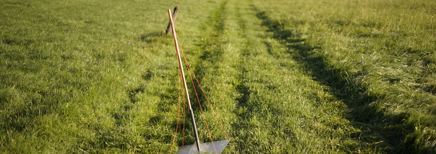
Grasslands are an important part of pre-Alpine and Alpine landscapes. Despite the economic value and the significant role of grasslands in carbon and nitrogen (N) cycling, spatially explicit information on grassland biomass and quality is rarely available. Remotely sensed data from unmanned aircraft systems (UASs) and satellites might be an option to overcome this gap. Our study aims to investigate the potential of low-cost UAS-based multispectral sensors for estimating above-ground biomass (dry matter, DM) and plant N concentration. In our analysis, we compared two different sensors (Parrot Sequoia, SEQ; MicaSense RedEdge-M, REM), three statistical models (linear model; random forests, RFs; gradient-boosting machines, GBMs), and six predictor sets (i.e. different combinations of raw reflectance, vegetation indices, and canopy height). Canopy height information can be derived from UAS sensors but was not available in our study. Therefore, we tested the added value of this structural information with in situ measured bulk canopy height data. A combined field sampling and flight campaign was conducted in April 2018 at different grassland sites in southern Germany to obtain in situ and the corresponding spectral data. The hyper-parameters of the two machine learning (ML) approaches (RF, GBM) were optimized, and all model setups were run with a 6-fold cross-validation. Linear models were characterized by very low statistical performance measures, thus were not suitable to estimate DM and plant N concentration using UAS data. The non-linear ML algorithms showed an acceptable regression performance for all sensor–predictor set combinations with average (avg; cross-validated, cv) of 0.48, RMSEcv,avg of 53.0 g m2, and rRMSEcv,avg (relative) of 15.9 % for DM and with of 0.40, RMSEcv,avg of 0.48 wt %, and rRMSEcv, avg of 15.2 % for plant N concentration estimation. The optimal combination of sensors, ML algorithms, and predictor sets notably improved the model performance. The best model performance for the estimation of DM (, RMSEcv=41.9 g m2, rRMSEcv=12.6 %) was achieved with an RF model that utilizes all possible predictors and REM sensor data. The best model for plant N concentration was a combination of an RF model with all predictors and SEQ sensor data (, RMSEcv=0.45 wt %, rRMSEcv=14.2 %). DM models with the spectral input of REM performed significantly better than those with SEQ data, while for N concentration models, it was the other way round. The choice of predictors was most influential on model performance, while the effect of the chosen ML algorithm was generally lower. The addition of canopy height to the spectral data in the predictor set significantly improved the DM models. In our study, calibrating the ML algorithm improved the model performance substantially, which shows the importance of this step.
Additional information
https://bg.copernicus.org/articles/19/2699/2022/
How to cite:
Schucknecht, A., Seo, B., Krämer, A., Asam, S., Atzberger, C., and Kiese, R.: Estimating dry biomass and plant nitrogen concentration in pre-Alpine grasslands with low-cost UAS-borne multispectral data – a comparison of sensors, algorithms, and predictor sets, Biogeosciences, 19, 2699–2727, https://doi.org/10.5194/bg-19-2699-2022, 2022.